The 24th sample taken by the six-wheeled scientist offers new clues about Jezero Crater and the lake it may have once held.
Recent Posts, Photos and Links
Wednesday, April 3rd, 2024
Links of the Day
Tuesday, April 2nd, 2024
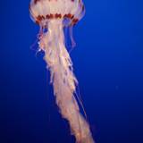
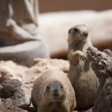
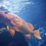
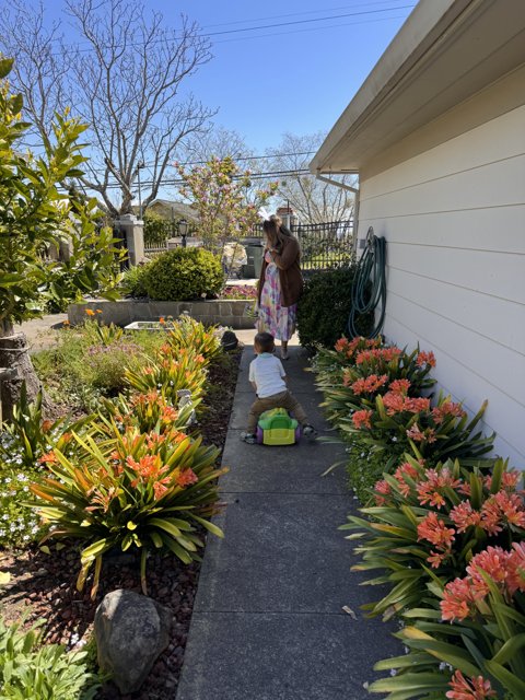
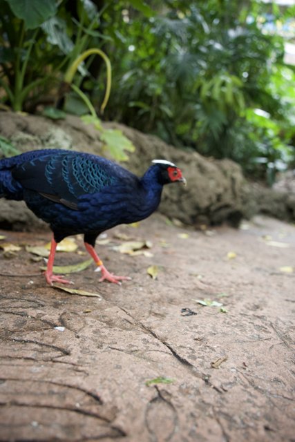
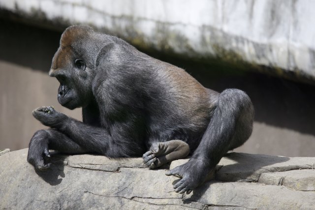
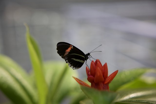
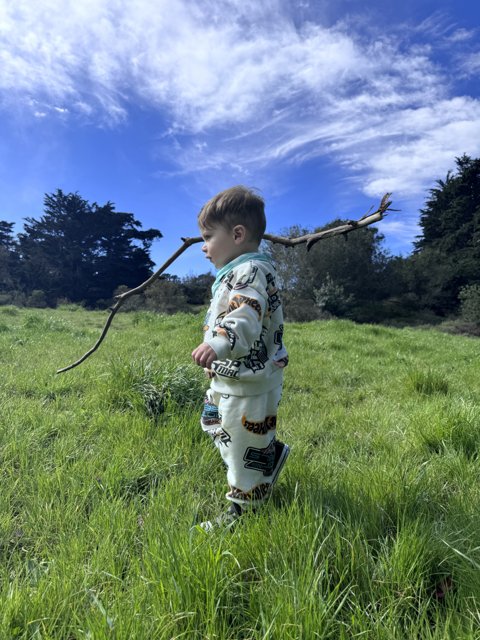
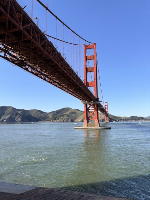
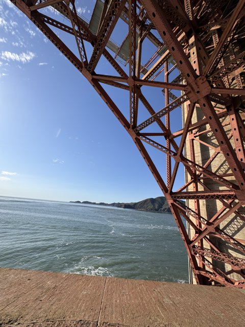
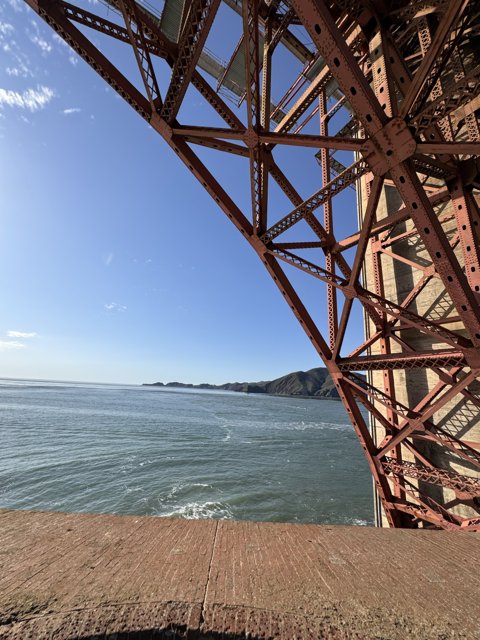
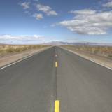
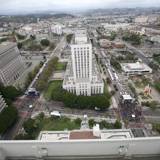
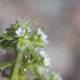
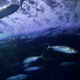
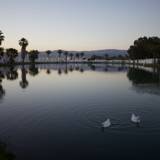
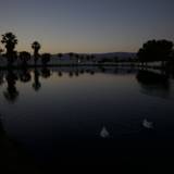
Photos


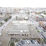
Monday, April 1st, 2024
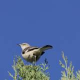
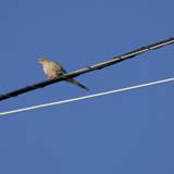
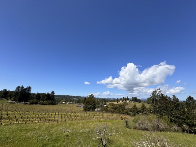
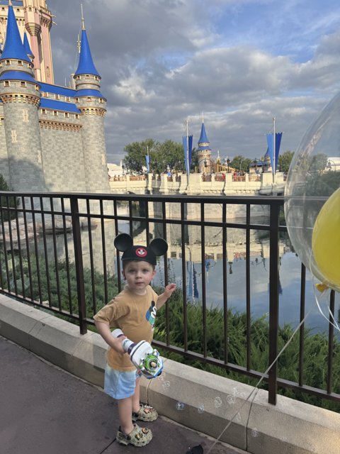
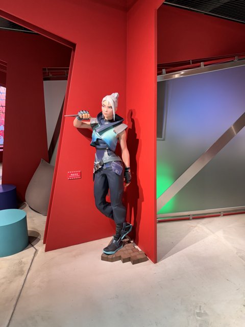
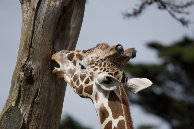
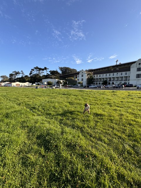
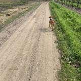
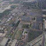
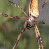
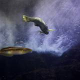
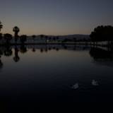
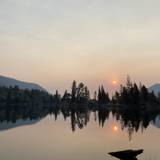
Photos

Sunday, March 31st, 2024
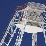
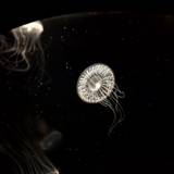
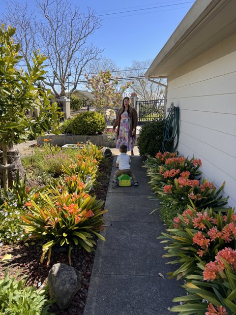
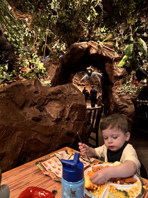
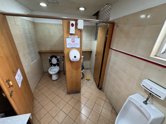
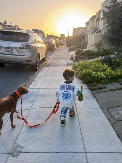
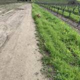
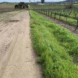
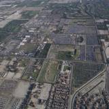
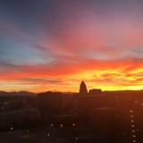
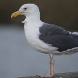
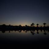
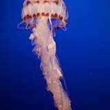
Photos


Saturday, March 30th, 2024
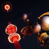
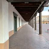
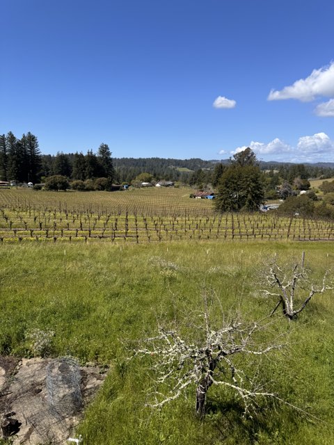
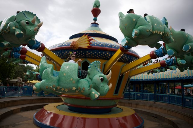
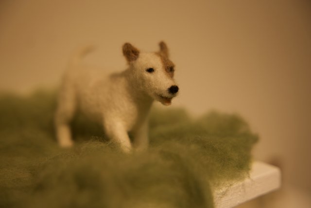
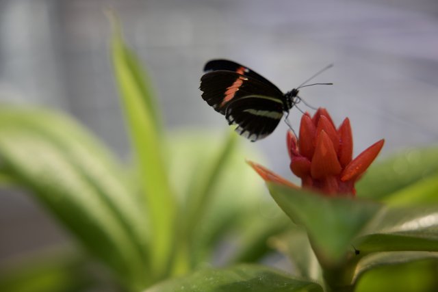
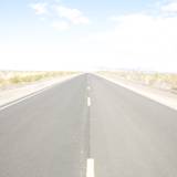
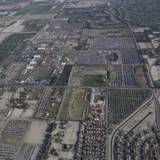
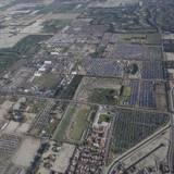
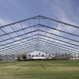
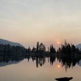
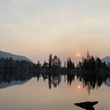
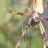
Photos

Thursday, March 28th, 2024
Links of the Day
Tuesday, March 26th, 2024
Photos


Monday, March 25th, 2024
Photos


Sunday, March 24th, 2024
Photos


Saturday, March 23rd, 2024
Photos


Friday, March 22nd, 2024
Photos


Thursday, March 21st, 2024
Photos


Wednesday, March 20th, 2024
Photos


Tuesday, March 19th, 2024
Photos


Monday, March 18th, 2024
Photos


Saturday, March 16th, 2024
Photos


Friday, March 15th, 2024
Photos

Thursday, March 14th, 2024
Links of the Day
Earlier this month, NASA's Voyager 1 spacecraft, which has spent years traveling through interstellar space after launching almost 50 years ago, started sending nonsensical messages back to Earth — as if its senility was catching up with it. "We’d gone from having a conversation with Voyager, with the 1’s and 0’s containing science data, to […]
NASA is reaching across more than 15 billion miles to rescue its malfunctioning Voyager 1 probe—but this hallowed interstellar mission can’t live forever
Tuesday, March 12th, 2024
Photos


Sunday, March 10th, 2024
Photos

Saturday, March 9th, 2024
Photos


Friday, March 8th, 2024
Photos

Thursday, March 7th, 2024
Photos
Wednesday, March 6th, 2024
Tuesday, March 5th, 2024
Photos

Monday, March 4th, 2024
Photos


Links of the Day
THE FLYING CAR IS DEAD LONG LIVE THE PERSONAL AIRBORNE MOBILITY DEVICE! It’s not a “flying car.” Zero emphasis on the “car” better serves the “flying.” WINGIN’ IT Lamborghini Countach The car world has oil speculator and F1 team owner Walter Wolf to thank for one of the most distinctive wings. Wolf commissioned his own Countach prototypes in the Seventies. The cars had massive 335-mm rear Pirellis, widened fender arches, and a V-shaped rear wing that characterized many later Countaches. A
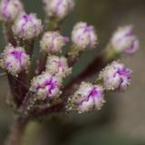
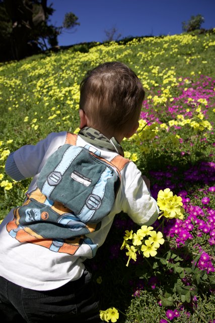
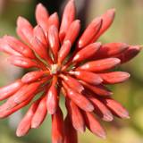
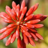
Last year’s vibrant superbloom season in California could soon get a vivid encore. Once the rains subside, state parks officials say, the wildflowers will open up into a rare kaleidoscope of color — starting in Southern California deserts, where landscapes will be covered in densely packed blankets of purple and blue, red, and gold. Superblooms will then unfold in the north state, when temperatures warm past the 60-degree mark.
Apple has announced its latest sci-fi series for Apple TV Plus, an adaptation of William Gibson’s seminal cyberpunk novel Neuromancer.
Sunday, March 3rd, 2024
Photos


Saturday, March 2nd, 2024


Friday, March 1st, 2024
Photos

Thursday, February 29th, 2024
Photos

Wednesday, February 28th, 2024
Photos


Tuesday, February 27th, 2024
Photos


Monday, February 26th, 2024
Photos


Sunday, February 25th, 2024
Photos


Saturday, February 24th, 2024
Photos


immersiveness


pleasant-perspective


tastefully-blurred


harmonious-color


pleasant-composition


well-timed-shot


interesting-subject


pleasant-symmetry


pleasant-reflection

pleasant-pattern


well-chosen-subject


overall


all


pleasant-lighting